000
AXPZ20 KNHC 010319
TWDEP
Tropical Weather Discussion
NWS National Hurricane Center Miami FL
0405 UTC Sat Jun 01 2024
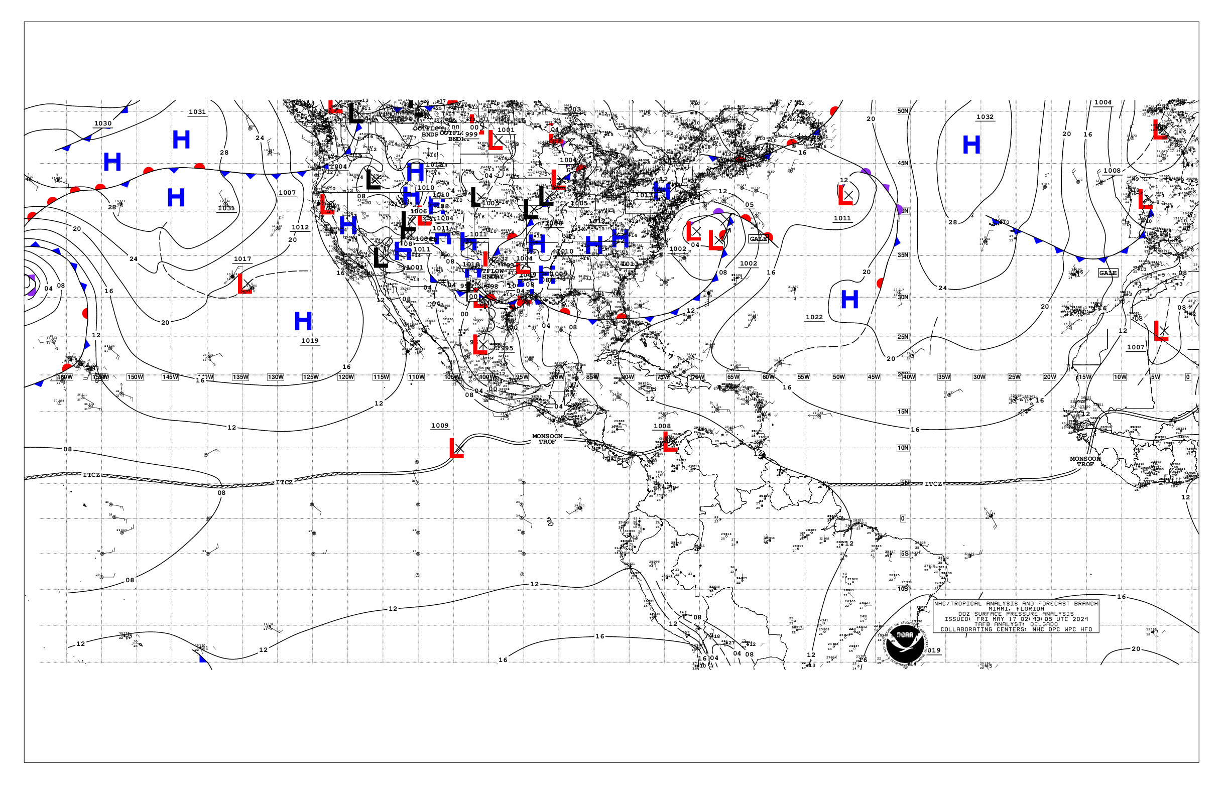
Tropical Weather Discussion for the eastern Pacific Ocean from
03.4S to 30N, east of 120W including the Gulf of California, and
from the Equator to 30N, between 120W and 140W. The following
information is based on satellite imagery, weather observations,
radar, and meteorological analysis.
Based on 0000 UTC surface analysis and satellite imagery through
0315 UTC.
...TROPICAL WAVES...
The axis of a tropical wave is near 92W, to the north of 02N,
moving westward near 10 kt. Numerous moderate to strong
convection is within 60 nm either side of the wave from 08N to
12N. Scattered moderate to isolated strong convection is from 08N
to 11N between 93W and 96W. Active convection is expected with
this system through the weekend and early next week while it
moves slowly westward, and well to the south of the coast of
Mexico. However, development of this system appears unlikely.
...INTERTROPICAL CONVERGENCE ZONE/MONSOON TROUGH...
The monsoon trough axis extends from northwest Colombia to
11N86W to 09N98W to 09N105W and to 08N112W. The ITCZ extends
from 08N112W to 10N127W to 08N113W and to beyond 07N140W.
Numerous moderate to strong convection is within 120 nm north
of the trough between 96W and 100W. Numerous moderate to isolated
strong convection is within 120 nm south of the ITCZ between
122W and 133W. Scattered moderate to isolated strong convection
is seen within 60 nm north of the ITCZ between 121W and 132W.
Scattered moderate convection is within 60 nm either side of
the trough between 100W and 102W and within 60 nm south of
the trough between 89W and 90W.
...OFFSHORE WATERS WITHIN 250 NM OF MEXICO...
A ridge extends from high pressure centered near 34N146W to near
the Revillagigedo Islands. The pressure gradient between the
area of high pressure and a trough over north central Mexico is
supporting moderate northwesterly winds across the Baja
California waters extending southward to near the Revillagigedo
Islands. Light to gentle winds prevail over the remainder of the
discussion waters. Seas are in the 7-8 ft range in NW swell off
Baja California Norte, and 6-7 ft off Baja California Sur.
Elsewhere over the open waters off Mexico, seas are in the 4-5 ft
range in SW swell. Seas of 3 ft or less are over the Gulf of
California. Hazy conditions persist off southern Mexico,
including the Gulf of Tehuantepec, due to agricultural fires over
southern Mexico and Central America. Visibilities may decrease
at times to 3 nm or less.
For the forecast, moderate to fresh NW to N winds will prevail
off the Baja California waters through early next week.
Elsewhere, light to gentle winds will prevail across the open
waters. Seas will remain 8 to 9 ft in NW swell off of Baja
California Norte through Mon. Hazy conditions, dense at times,
may persist off southern Mexico, including the Gulf of
Tehuantepec, due to agricultural fires over S Mexico and Central
America.
...OFFSHORE WATERS WITHIN 250 NM OF CENTRAL AMERICA, COLOMBIA,
AND WITHIN 750 NM OF ECUADOR...
Moderate to locally fresh east gap winds prevail across the Gulf
of Papagayo region and extend across most of the waters of
Nicaragua to 94W. Light to gentle winds are elsewhere N of the
monsoon trough. Gentle to moderate winds prevail S of the monsoon
trough. Seas are in the 6-7 ft range across the Papagayo region,
and 4-6 ft in SW swell elsewhere. Hazy conditions continue off
the Central American coast due to agricultural fires in southern
Mexico and Central America. Visibilities may decrease at times to
around 5 nm or less.
For the forecast, moderate to fresh E gap winds are expected
across the Papagayo region and most of Nicaragua waters through
early Sat. Elsewhere, gentle to moderate winds will prevail for
the next several days. Hazy skies from smoke caused by
agricultural fires over Mexico and Central America may reduce
visibilities over portions of the Central American offshore
waters the next few days.
...REMAINDER OF THE AREA...
A ridge extends from high pressure centered near 34N146W to near
the Revillagigedo Islands. The pressure gradient between the
area of high pressure and lower pressure in the vicinity of the
ITCZ is supporting moderate to fresh winds N of the ITCZ to 25N
and W of 120W. Gentle to moderate winds are elsewhere N of the
ITCZ. Seas of 6-9 ft in N to NE swell prevail across all but the
far NW waters, where seas of 5-6 ft prevail. Northerly swell is
producing seas of 8-9 ft over the waters N of 25N between 118W
and 127W. Gentle to moderate winds, and seas of 5-6 ft, prevail S
of the ITCZ/monsoon trough.
For the forecast, little change is expected to the current
conditions over much of the area the next few days. The active
convection along the ITCZ will gradually shift westward and
weaken through the weekend.
$$
Aguirre