000
AXNT20 KNHC 120509
TWDAT
Tropical Weather Discussion
NWS National Hurricane Center Miami FL
0605 UTC Wed Jun 12 2024
Tropical Weather Discussion for North America, Central America
Gulf of Mexico, Caribbean Sea, northern sections of South
America, and Atlantic Ocean to the African coast from the
Equator to 31N. The following information is based on satellite
imagery, weather observations, radar and meteorological analysis.
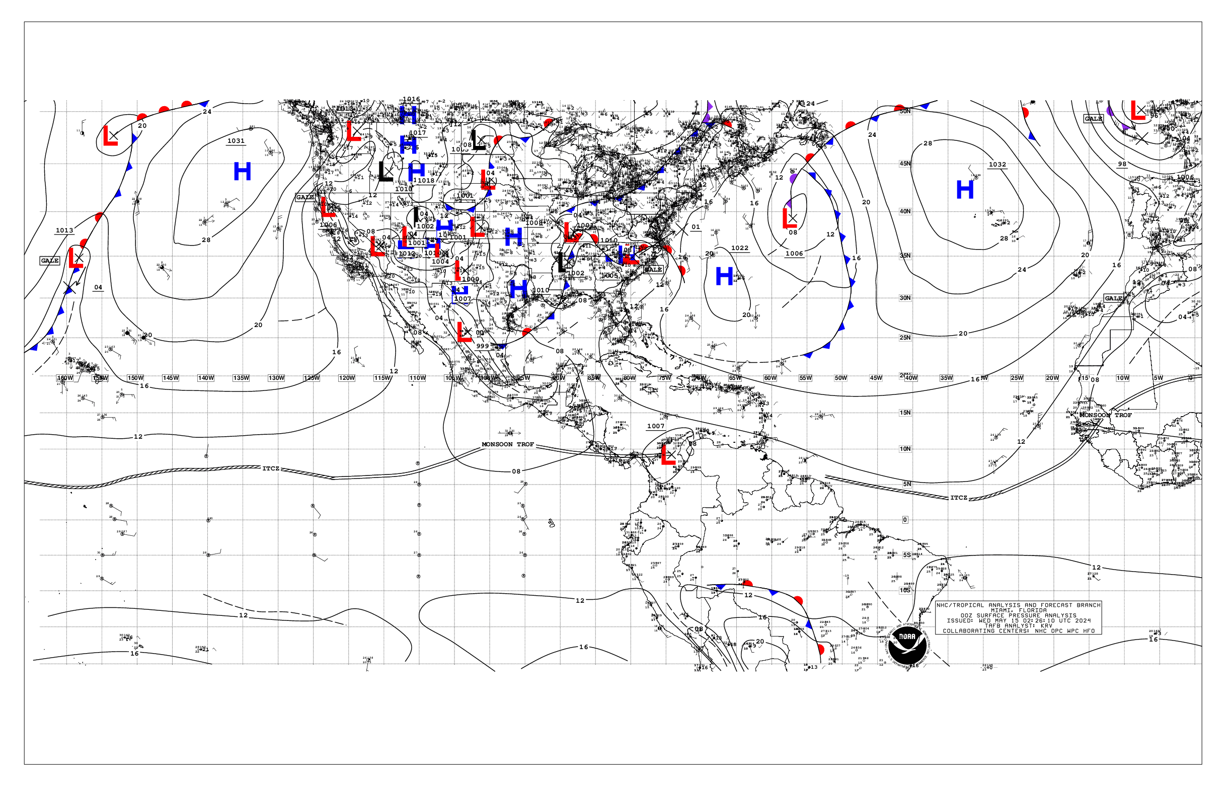
Based on 0000 UTC surface analysis and satellite imagery through
0450 UTC.
...SPECIAL FEATURES...
Heavy Rainfall in the NW Caribbean Sea, in the SE Gulf of Mexico,
and in South Florida:
Abundant tropical moisture is surging northward from the western
Caribbean Sea, into the SE Gulf of Mexico, to the southern half
of Florida, and into the adjacent western Atlantic Ocean. A
surface trough extends from north central Florida, to a near Tampa
Florida 1008 mb low pressure center, to the Yucatan Channel.
Scattered strong rainshowers are in the northern parts of the
Yucatan Channel. Moderate to fresh southerly winds are in the
Straits of Florida/SE Gulf to the east of the surface trough.
Gentle winds are in the remainder of the Gulf of Mexico. The
highest sea heights are 4 feet, from 25N southward from 86W
eastward. Slight seas are in the remainder of the Gulf of Mexico.
Precipitation: scattered moderate to strong rainshowers are in
clusters from parts of western Cuba, to the waters that are
between the NW Bahamas and Florida, and the waters that are to the
north of the Bahamas from 70W westward. Isolated moderate to
locally strong is in the NW corner of the Caribbean Sea.
Dangerous cloud to ground lightning, strong gusty winds, rough
seas, and low visibility are ongoing within the areas of
precipitation. Heavy rainfall in south Florida today has warranted
Flood Watches and Flash Flood Warnings. The precipitation is
expected to stay in the region through Friday. Mariners who are
transiting these regions should exercise caution. Please, refer to
bulletins and forecasts from your local weather forecast offices
for specific local information.
...TROPICAL WAVES...
An Atlantic Ocean tropical wave is along 20W, from 13N southward,
moving westward 10 knots to 15 knots. Precipitation: scattered to
numerous strong is to the west of the tropical wave, around the
ITCZ.
An Atlantic Ocean tropical wave is along 32W/33W, from 14N
southward, moving westward about 15 knots. Precipitation: isolated
moderate to locally strong is within 180 nm to the east of the
tropical wave, and within 440 nm to the west of the tropical wave.
A Caribbean Sea tropical wave is 67W/68W, from 13N southward, moving
westward 10 knots to 15 knots. Precipitation: widely scattered
moderate to isolated strong is inland, within 440 nm to the east
of the tropical wave. Saharan Air has been to the north of the
tropical wave to 19W, and it extends eastward into the tropical
Atlantic Ocean.
A Caribbean Sea tropical wave is along 76W/77W, from 14N
southward, moving westward 10 knots to 15 knots. This wave is
becoming ill defined as it encounters low to middle level
southeast wind flow surging into the NW Caribbean Sea.
Precipitation: widely scattered moderate to isolated strong is
within 120 nm to the east of the tropical wave in the waters, and
within 180 nm to the west of the tropical wave in the waters.
...MONSOON TROUGH/ITCZ...
The monsoon trough passes through the coastal plains border of
Senegal and Guinea-Bissau, to 10N18W. The ITCZ is along 08N21W
05N32W, 05N34W 04N43W 04N50W. Precipitation: scattered to numerous
strong is from 04N to 09N between 20W and 30W. Widely scattered
moderate to isolated strong is elsewhere from 05N to 07N between
10W and 14W, and from 10N southward from 40W westward.
...GULF OF MEXICO...
Please, read the SPECIAL FEATURES section, for details about the
heavy rainfall that is in the SE Gulf of Mexico.
A cold front continues from a southern Georgia 1009 mb low
pressure center, to the Florida Panhandle/Alabama border. A
stationary front continues in the coastal plains/in the coastal
waters of the U.S.A., beyond the upper Texas Gulf coast.
Precipitation: scattered moderate rainshowers are in the Texas
coastal waters from 28N to 29N.
Light concentrations of smoke are in the western Gulf of Mexico,
including in the SW corner of the area. Ongoing agricultural fires
are in Mexico, creating hazy conditions.
A broad area of low pressure near the west-central coast of
Florida is producing a large area of disorganized showers and
thunderstorms. This system is expected to move northeastward
across Florida tonight and offshore of the U.S. southeastern coast
by late Wed. As a result, unsettled weather in the form of
numerous showers and thunderstorms with gusty winds will persist
over the east-central and southeastern Gulf waters through Fri
night as a trough lingers over the eastern Gulf. Hazy conditions
due to agricultural fires over Mexico will continue to affect the
western Gulf reducing visibility to around 3 nm at times through
at least the next couple of days.
...CARIBBEAN SEA...
Please, read the SPECIAL FEATURES section, for details about the
heavy rainfall that is in the NW Caribbean Sea.
Moderate to rough seas are from 13N northward between 71W and 76W.
Moderate or slower winds, and slight seas, are in the SW corner
of the area. Moderate seas are in the remainder of the Caribbean
Sea. Mostly fresh to some strong SE winds are from 15N northward
from 77W westward. Fresh to strong easterly winds are in the
remainder of the Caribbean Sea.
High pressure located NE of the area combined with the Colombian
low and the passage of tropical waves will support fresh to strong
trade winds across the central Caribbean through Thu night.
Moderate to fresh southeast winds are expected over the
northwestern Caribbean likely through Fri as a trough of low
pressure remains over the eastern Gulf of Mexico. Otherwise,
scattered showers and thunderstorms are forecast to continue
across portions of the northwestern Caribbean through the rest of
the week as a surge of tropical moisture persists across the
region.
...ATLANTIC OCEAN...
A stationary front passes through 34N70W beyond 31N80W.
Precipitation: broken to overcast multilayered clouds, and
scattered moderate, are within 280 nm to the southeast of the
stationary front between 64W and 74W. Scattered to numerous strong
is between Andros Island and 80W, and between Andros Island and
Cat Island and Eleuthera. Scattered moderate to isolated strong is
from 28N to 30N between 75W and 78W. The 24-hour rainfall totals
in inches, for the period that ended at 12/0000 UTC, are:
1.17 in Bermuda. This information is from the Pan American
Temperature and Precipitation Tables/MIATPTPAN.
A surface trough is along 30N61W 29N57W 26N55W. Precipitation:
rainshowers are possible from 25N northward between 50W and 60W.
A north-to-south oriented surface trough is along 50W/51W from 17N
to 24N. Precipitation: isolated moderate is within 100 nm on
either side of the trough.
A NE-to-SW oriented surface trough is along 30N29W 25N37W 21N43W.
Precipitation: isolated moderate to locally strong is to the north
of 20N48W 22N40W 24N30W 24N20W, to the coast of Africa along 25N.
Moderate sea heights range from 6 feet to 7 feet from 16N to 23N
between 20W and 30W, and from 27N northward from 14W eastward.
Moderate sea heights range from 4 feet to 6 feet from 25N
southward between 30W and 50W, and elsewhere from 20W eastward.
Slight seas are in the remainder of the Atlantic Ocean.
Unsettled weather in the form of numerous showers and
thunderstorms, with locally gusty winds and higher seas, are over
most of the western part of the forecast waters as a stationary
front extends from northern Florida eastward along 31N to near 75W
while low pressure near the west-central Florida coast sends
additional showers and thunderstorms east- northeastward toward
the Florida east coast, and to the offshore waters around the NW
Bahamas and northward from there. This activity is being further
supported by upper-level disturbances moving from W to E. Expect
for little change with this activity into the end of the week as
the low pressure is expected to move northeastward across Florida
tonight and offshore of the U.S. southeastern coast by late Wed.
Although upper-level winds are expected to be only marginally
conducive, some slow development is possible while the system
moves offshore of the U.S. southeastern coast. A trough may linger
from near the NW Bahamas to near 31N75W from mid-week through Fri
night. Fresh to strong southerly winds are expected over the
western Atlantic ahead of this system during the next couple of
days.
$$
mt/ja


